Lot 7 — NEW YORK MAP, 1924, County, Township, Railroads, Population Index
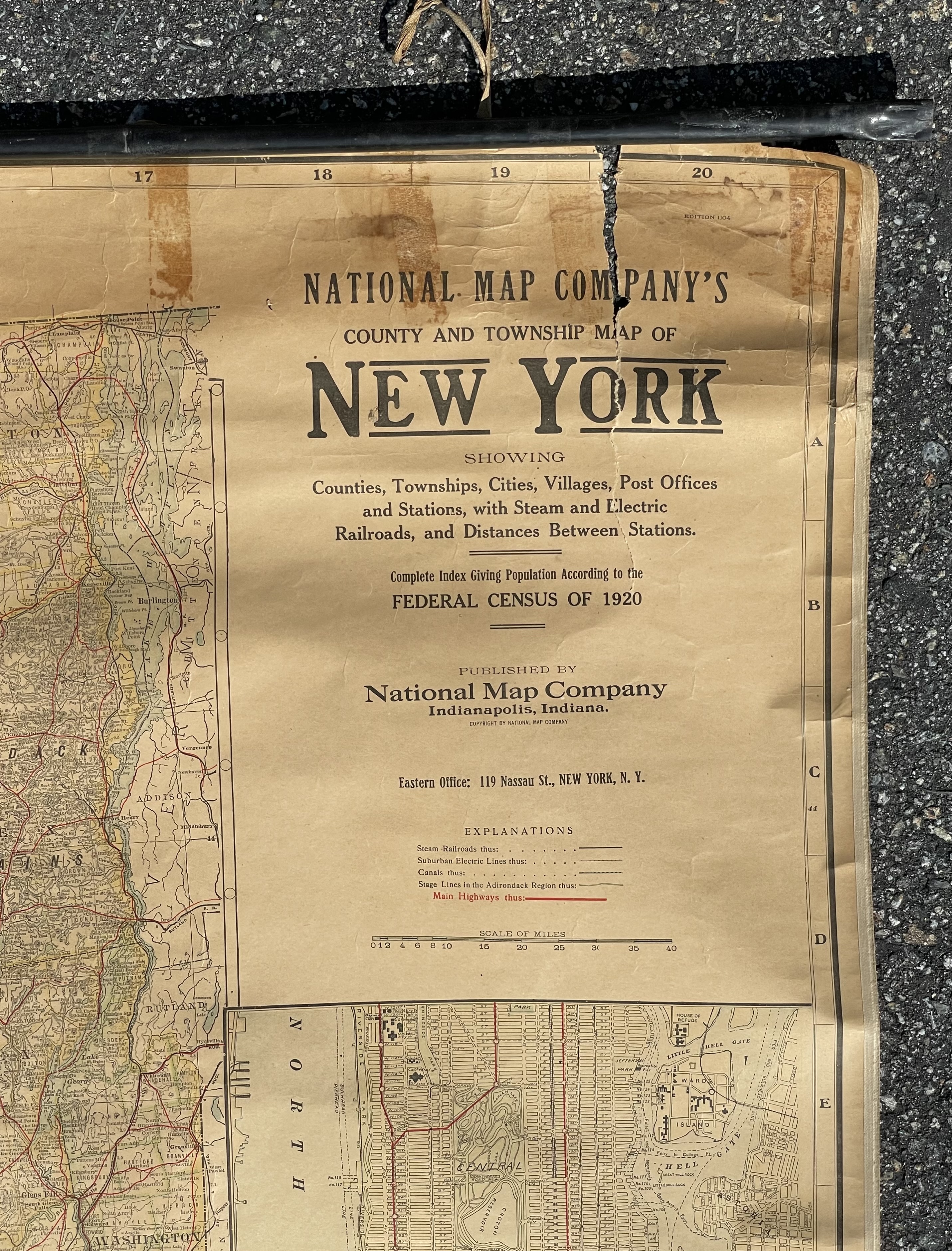
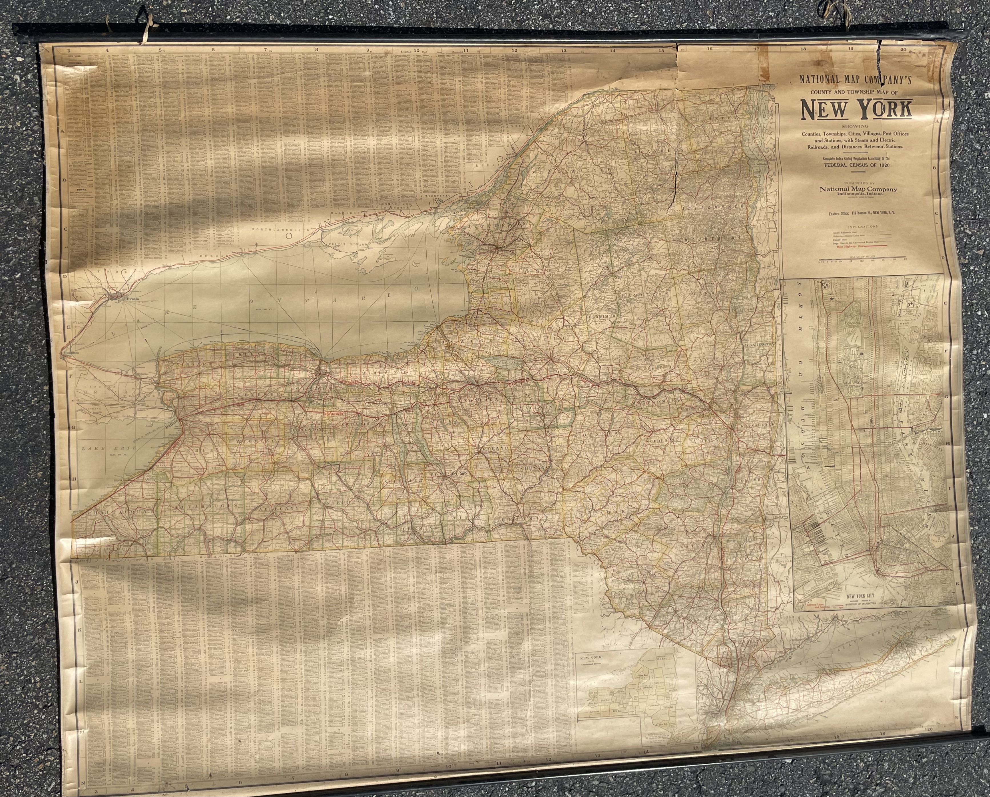
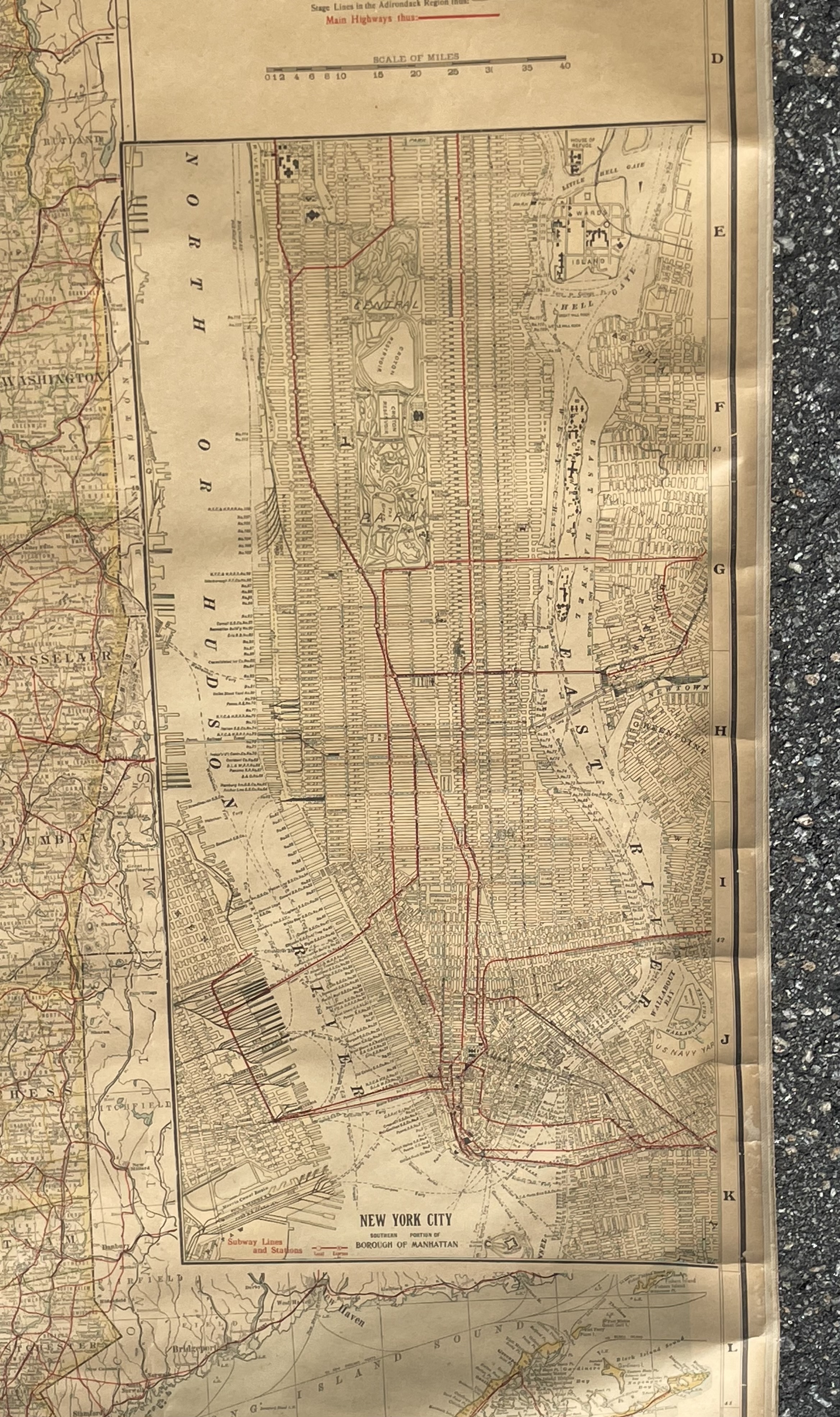
National Map Company's County and Township Map of New York, showing counties, townships, cities, villages, post offices, and stations, with steam and electric railroads, and distances between stations, and complete index giving population according to the Federal Census of 1920. National Map Company, Indianapolis, Indiana. Copyright 1924. Large format wall map, color-printed on paper, mounted on canvas, with original metal rods at top and bottom for display. Includes an inset map of New York City and a comprehensive index of localities.
Wall map exhibits overall toning, surface grime, and creasing from age and use. Small tears and chips are present along edges and fold lines, particularly near metal rods. Metal rods are intact; map material shows some stress where affixed.